Monthly Archives: August 2009
Monday August 31
Will get the pictures and stuff on our trip to Prince Edward Island posted soon.
Lighthouses and Wind Farms…
Today was the start of our 2 day Prince Edward Island road trip. We decided it would be easier to just leave our rig in Moncton and drive the truck over.
We left Moncton about 10 am for the 75 mile drive to Canada’s smallest province. Lengthwise, it’s about 160 miles from one end to the other.
But first we had to cross Confederation Bridge to get to the Island. The curved, 8 mile long bridge is the longest in the world crossing ice-covered water and is considered one of Canada’s top engineering achievements of the 20th century.
And it’s a very beautiful bridge, too.
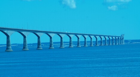
Confederation Bridge
And they’re really proud of it, too! It’s a toll bridge, but they don’t charge you to enter the island, they charge when you leave.
And it costs $42.50 to get off the island!
Once we were over that shock, we decide to head toward the west and north ends of the island.
The first town of any size we cam to was Summerside. Passing a nice looking Chinese buffet restaurant, we decided to have lunch at the Jade Garden.
This is the 2nd Canadian Chinese restaurant we eaten at, and it’s apparent that Canadian Chinese food is a little different from American Chinese.
They only seem to have Won Ton soup, no Hot and Sour, which is our favorite. And they have egg rolls, but they also have something like a small fried burrito that has egg roll ‘stuff’ in it. What the real difference is, I don’t know.
I mean, you’d think we were in a foreign country, or something.
After lunch, we continued on what was called the North Cape Coastal Drive, which winds around the coast and up to the northern tip of the island.
The first place we came to was the West Cape Wind Farm, one of several wind farms scattered around the island.
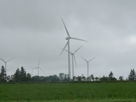
West Cape Wind Farm
We were starting to get a little low on gas, and finding no gas stations along our route, we headed about 10 miles back toward the center of the island to fill up.
Rounding the West Cape area and now heading north, we traveled along the coast to more great scenery.

West Cape Cliffs

West Cape Cliffs1
Now working our way north, we finally reached the North Cape at the tip of the island.
This lighthouse and wind farm look out over the Atlantic ocean and the red cliffs show the effects of the ocean waves.

North Cape Lighthouse
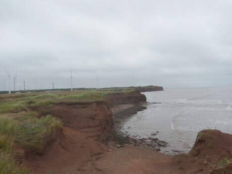
North Cape Cliffs
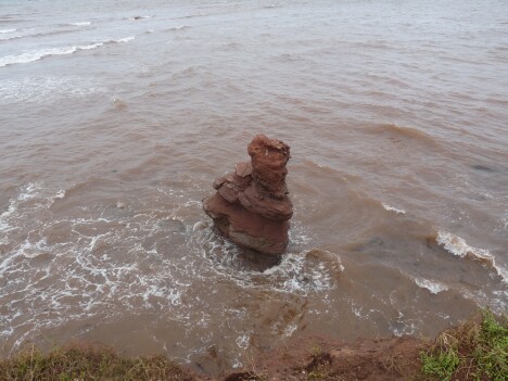
North Cape Cliffs 2
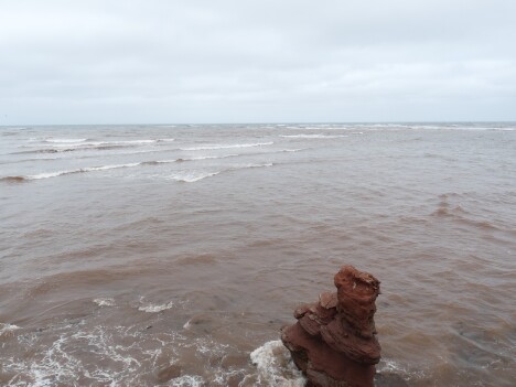
North Cape Cliffs 3
By this time it was getting late so we headed back down the main road down the center of the island to the capitol of Charlottetown where we where going to spend the night.
We got a room at a Holiday Inn and then went out for supper to a place downtown called Sim’s Steakhouse & Oyster Bar.
We had a dozen raw oysters (Up here they called them ‘Fresh’, not raw), and a couple of appetizers. The food was really good. But the service was abysmal. We were there almost an hour and a half, just for appetizers.
Tomorrow, we’ll do some of the Anne of Green Gables area, and then the otherside of the island.


