Monthly Archives: June 2011
Goonies and Eagles . . .
After the usual coffee and toasted bagels at 10, Jan heated up the last of Baldy’s BBQ about noon, and once again we enjoyed some great BBQ. Too bad that’s the last of it.
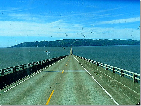
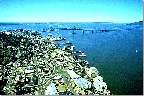
About 2 pm we headed out with Nick and Terry Russell to do some sightseeing in the area. We first drove north up through Long Beach for a while and then turned around and headed back south across Nick’s favorite bridge to Astoria.
After driving around for a while, Nick directed us to a hill overlooking the city that held the Astoria Column.
Built in 1924 by The Great Northern Railway and Vincent Astor, great grandson of John Jacob Astor, who founded Astoria. (Astor, Astoria, get it?). Founded in 1811, Astoria is the oldest settlement west of the Rockies, and, although John Jacob Astor is said to have founded the city, another source says he never visited here. Nick and I figured he had ‘people’ to found things for him.
The murals wrapped around the column depict 14 significant events in the settlement of Oregon, including Lewis and Clark, and the settling of Astoria.
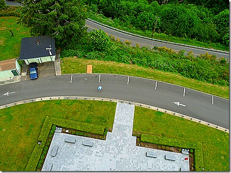
The Astoria Column is 125 feet high, and it’s 164 steps to the top. Terry and I know every one of those steps, because we climbed it. Two unnamed wussies stayed on the ground. That’s Nick (I mean, a ‘wuss’) masquerading as a little blue dot in the middle of this photo.
But the climb was worth it just for the views.
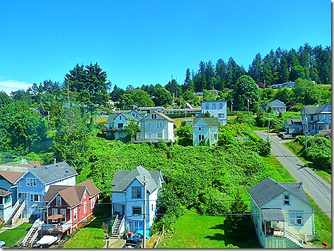
Coming back down the hill we drove up and down some of the residential streets checking out the many neat houses.
Last year we saw a lot of these ‘painted ladies’ in San Francisco, too.
While not a ‘painted lady’ as such, this house is famous because it was used in the 1985 movie, “The Goonies’, which was filmed. Other movies filmed in the area were ‘Overboard’, ‘Short Circuit’, ‘Kindergarten Cop’, and a number of others.
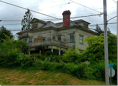
Now this place might have been used to film ‘The Addams Family’. I certainly wouldn’t want to live next door to it.
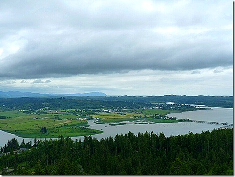
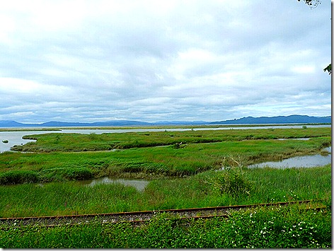
Leaving Astoria proper, we drove east on US-101 looking for the Twilight Eagle Habitat. Following the signs we ended up at this overlook on the Columbia River delta area. Eagles or no eagles, the view was great.
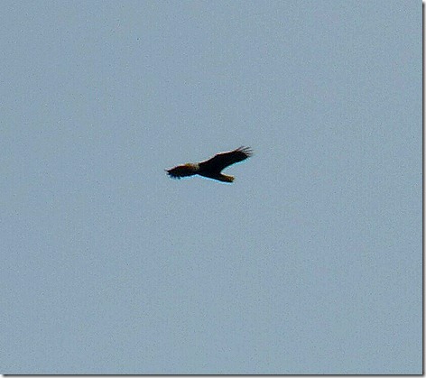
We did see one bird high overhead, but too far away to identify by eye.
But I took a photo anyway. And, as it turns out, it was a Bald Eagle, as you can tell from the enlargement below.
Finally we headed back to Long Beach and on up the highway to Los Compadres, a well-recommended Mexican restaurant. We had a good meal, and a great time getting back together with Nick and Terry.
More tomorrow . . .
——————————————————————————————————————–
Thought for the Day:
Some minds are like soup in a poor restaurant…better left unstirred. – PG Wodehouse
dsaf
Big Mountains and Big Bridges . . .
This morning started way, way too early at 6:30 am. I was up at this ungodly hour so we could get an early start for our 290 mile trip to Long Beach, WA.
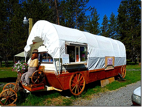
We pulled out of our site about 8:30 and headed out . . . for Big Jim’s Coffee Wagon at the front of the park. Since this was going to be a 6-7 hour trip, and we wanted to have some breakfast first.
And as before, our coffee and breakfast sandwiches were really good, and we were hitched up and on the road by about 9:15.
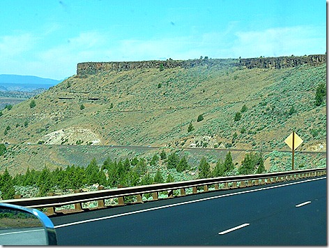
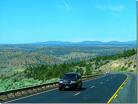
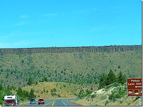
We took US-97 north for about 65 miles to Madras, OR where we got on US-26. A few miles out of Madras, the scenery really changed as we started to descend into the Deschutes River Canyon and entered the Warm Springs Indian Reservation.
The Deschutes River Canyon was a real surprise. The scenery looked liked something from the Southwest.
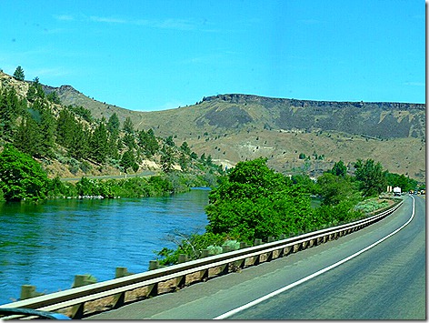
But when we got to the bottom of the canyon, we found the lush vegetation along the Deschutes River.
After following the river for a few miles we crossed over and started our climb back up to the top.
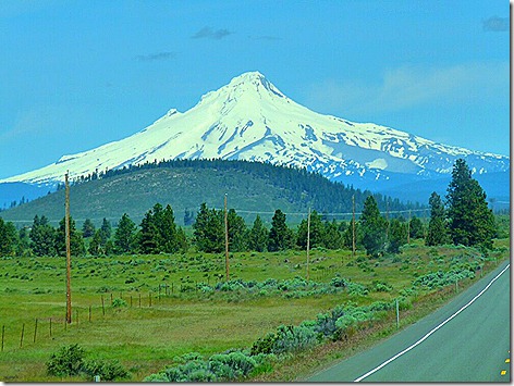
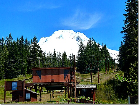
Getting to the top we had our first good view of Mt Hood.
Then about 2/3 of the way through the reservation, we saw a sign informing us we were crossing the 45th Parallel, thus we were half way between the North Pole and Equator. Neat!
Mt. Hood became even more impressive the closer we got. At over 11,200 feet, it’s the tallest point in Oregon, and is considered Oregon’s most likely to erupt volcano.
We stopped at a rest area at the base of the mountain, but ironically, because of the trees, we didn’t have as good view as further out.
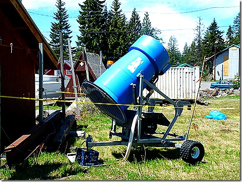
But since this was a ski lift area, I did see this snow-making machine sitting there, waiting for this fall. Always wondered what they looked like.
In Portland, we got on I-5N and headed up to Longview, where we crossed the Columbia River on the Lewis and Clark Bridge, and started the long climb on US-30 heading toward Astoria, OR.
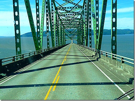
Astoria is a picturesque little town, perched on the hills overlooking the mouth of the Columbia River, and also contains one of Nick Russell’s favorite things . . . A really BIG bridge.
Crossing this bridge put us in Washington, and only about 15 miles from our Thousand Trails park in Long Beach/Ilwaco, WA.
We pulled in about 4:30 and got parked and set up next to Nick and Terry with no problems.
Checking in with them we found Bill Joyce and Diane Melde, friends from Nick’s Yuma Rally, already there.
Since Bill and Diane spend a lot of time in this area, they suggested Dooger’s Seafood up the road in Long Beach for supper, and off we went.
Good Food, Good Friends, it doesn’t get any better.
——————————————————————————————————————-
Thought for the Day:
Remember, democracy never lasts long. It soon wastes, exhausts, and murders itself. There never was a democracy yet that did not commit suicide. – John Adams, 2nd President of the United States
adsf


